Department of Geoinformatics, Cartography and Remote Sensing of the Faculty of Geography and Regional Studies of the University of Warsaw (WGiSR UW)

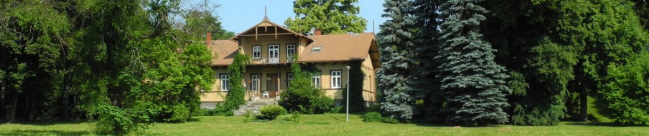
Group photo of Department of Geoinformatics, Cartography and Remote Sensing members.
The Faculty of Geography and Regional Studies of the University of Warsaw (WGiSR UW) gathers scientists representing a whole spectrum of the geography and related sciences. Staff members organize and participate in international scientific exchanges and initiatives (amongst others, as active members of the committees of the International Geographical Union, International Association for Landscape Ecology, National Committee to the International Cartographic Association, European Urban Research Association, European Association of Remote Sensing Laboratories, European Council for Social Research on Latin America, International Association of Hydrological Sciences), cooperate with major Polish publishers and work as external experts on issues related to environment and spatial management, remote sensing and geographic information systems.
Department of Photointerpretation, based at the University of Warsaw, Faculty of Geography and Regional Studies, was established in 1962 to pursue higher education and research in application of photointerpretation and remote sensing techniques. The current head of the unit is Dr. Jolanta Korycka-Skorupa. Previously the unit has been headed by Prof. Bogodar Winid, Prof. Andrzej Ciołkosz, Prof. Jan R. Oledzki and Dr. hab. Bogdan Zagajewski.
The activity of the Department started in the 60’s, in the field of airborne data acquisition. From the very beginning the unit’s focus was on development and peddling the remote sensing techniques in Poland through university studies, gathering proper equipment, organizing conferences and meetings or taking part in international projects. Through actions of former head of the unit, Prof. Jan R. Oledzki, specializing in regionalization and environmental change analysis from remotely sensed data, Department has been using remote sensing methods for research in mountain environments (Tatra National Park, Karkonosze National Park, Low Beskid) and lowlands.
Nowadays, Department focuses on evaluation of new remote sensing techniques and their application in environmental studies (physical geography), protection of environment and human (social and economic) geography. Our activities are aimed at analysis of satellite and aerial images and integrated field studies. The main fields of research include studies of land use and environmental changes and analyses of environmental structure, regionalization and landscape typology, environmental management plans, physiography of selected Polish regions, environmental basis and barriers of development and other expert opinions and studies. Our unit has also vast experience in the field of spatial data processing, geographic data management and usage of spatial and geographic data for purpose of local administration and protected area management (national parks, zones of protected landscape, strategic development plans).
Currently Department’s works focus on:
- application of high resolution and hyperspectral imagery in mountain plants analysis,
- application of high resolution and hyperspectral imagery in city planning and structure analysis,
- use of aerial and satellite imagery in studies of environmental transformations,
- development of remote sensing and geoinformatics for the purpose of environmental research.